Eight things you never knew about finding the way at sea

DC·35 Deep Cuts
A crystal that finds the sun through thick cloud

A crystal that finds the sun through thick cloud

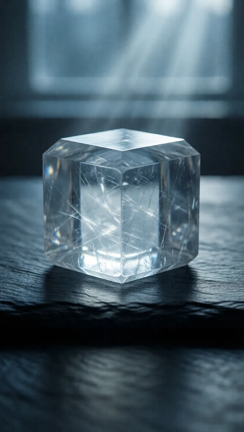
Sunlight scattering in the sky forms faint rings of polarized light around the sun — invisible to us, but a clear calcite crystal splits any ray into two and reveals it. Turn the crystal until the two images match in brightness and you have the sun's direction, even through cloud or just after it has set, to within about a degree. A crystal exactly like this was recovered from a ship that sank in 1592, long after the magnetic compass arrived.
This sea map was memorized, then left on the beach

This sea map was memorized, then left on the beach

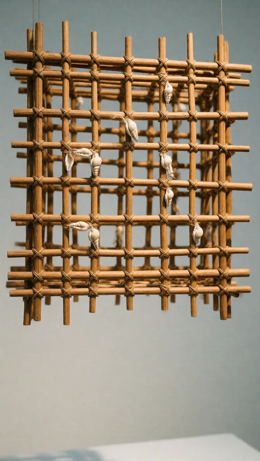
Navigators in the Marshall Islands mapped the ocean itself — the way long swells bend, collide and rebound around islands. They tied curved coconut-frond ribs into a lattice, marking islands with small shells. But the chart never went to sea: it was a study aid, memorized on land over years. At sea the navigator lay flat in the bottom of the canoe and read those same swells through the pitch and roll of the hull.
The first compass was a spoon that pointed south

The first compass was a spoon that pointed south

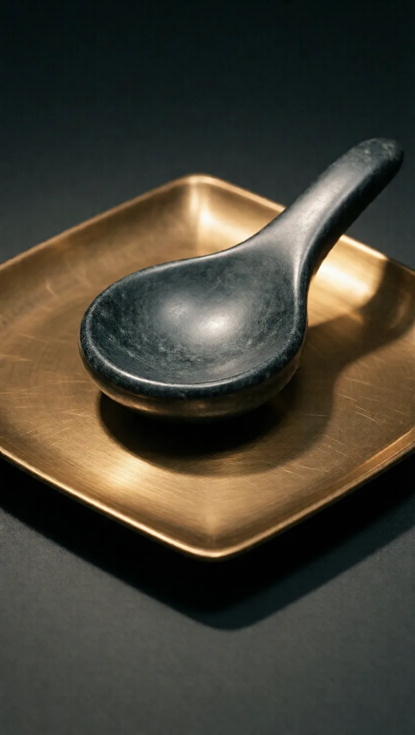
The earliest known compass, in Han-era China around 2,000 years ago, was a spoon carved from lodestone — naturally magnetized iron ore. Set on a smooth bronze plate and spun, it settled with its handle pointing south, the direction the Chinese took as primary. Only centuries later did people rub iron needles against lodestone and float them in water, producing the slim, swinging compass needle we know today.
Sailors held their latitude with a string in their teeth

Sailors held their latitude with a string in their teeth

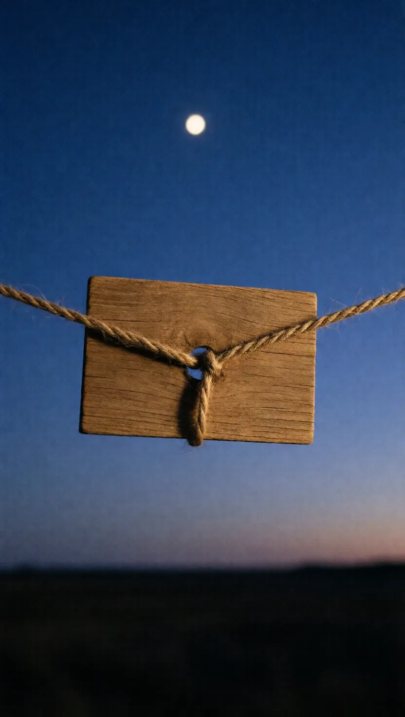
Arab navigators of the Indian Ocean kept to a latitude using a scrap of wood and a knotted cord. The card hung from a string gripped in the teeth; you slid it until its lower edge sat on the horizon and its top edge touched a star like Polaris. Each knot was tied at a known angle and calibrated at the home port, so a chosen knot marked a chosen latitude — letting a pilot sail straight along it. In use by the 10th century.
To read the sun's height, you turned your back to it

To read the sun's height, you turned your back to it

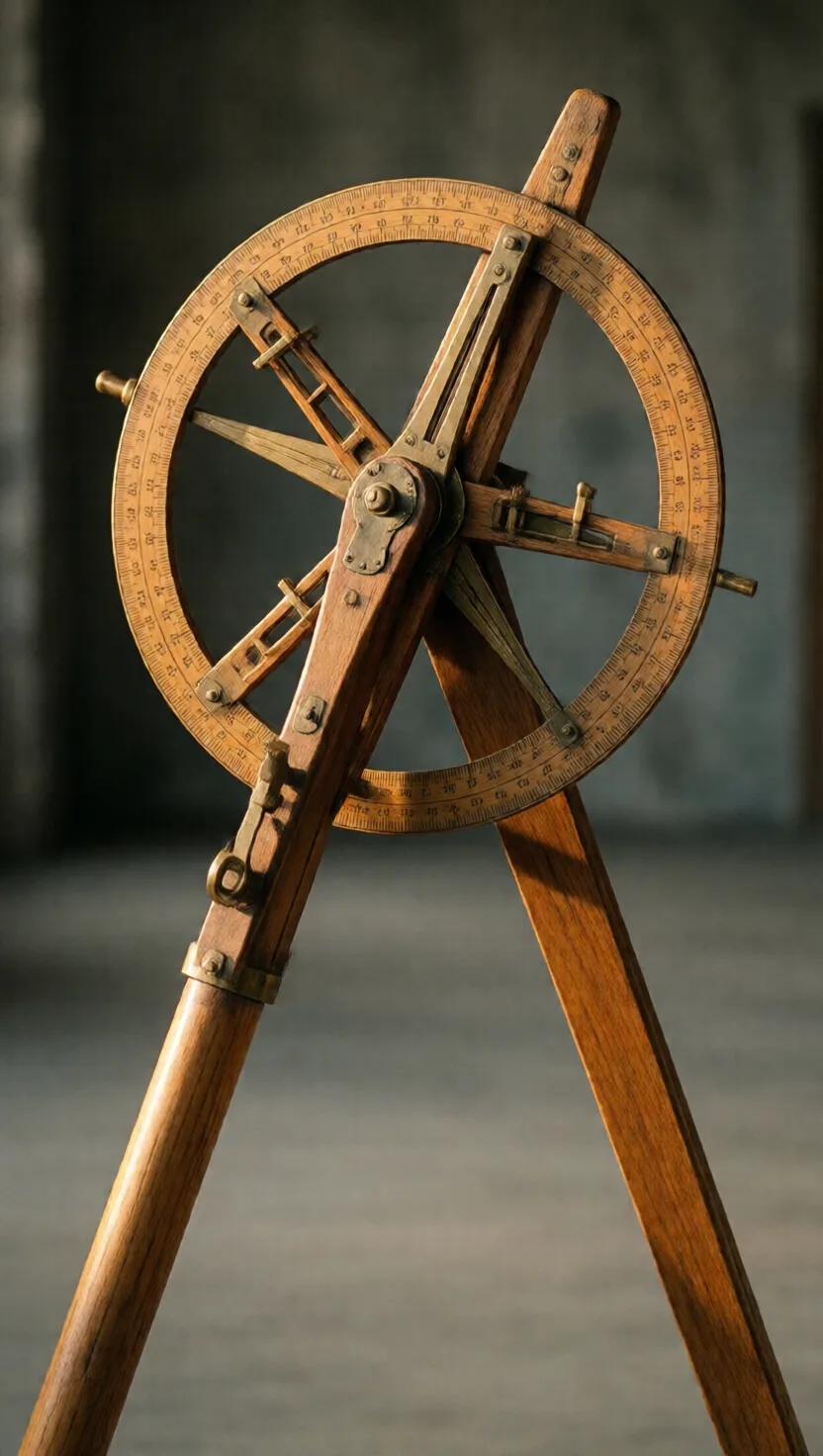
Measuring the noon sun's height fixes your latitude, but staring at the sun through earlier instruments slowly blinded navigators. Around 1594 John Davis turned the problem around: stand with your back to the sun and let the instrument cast a shadow instead. Slide a vane until the shadow's edge meets the horizon in your sight line, then read the angle off two wooden arcs — all without ever looking at the sun.
Two iron balls keep a ship's compass honest

Two iron balls keep a ship's compass honest

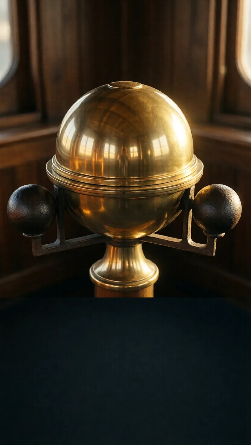
A steel ship is itself a weak magnet, and its iron tugs the compass needle off true — a deadly error near rocks. The fix sits in plain sight beside the compass stand: two soft-iron spheres on brackets, one to each side. They draw the ship's own stray magnetism toward themselves instead of the needle, and sliding them nearer or farther tunes the cancellation. Introduced in the 1880s, they are still bolted there today.
This weight tasted the seabed in the dark

This weight tasted the seabed in the dark

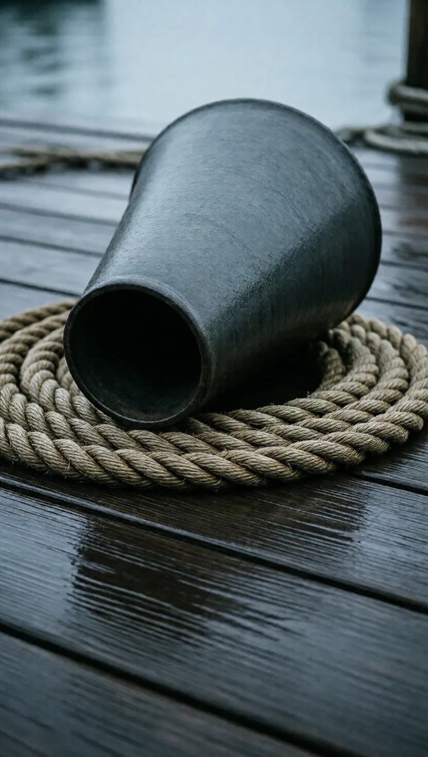
Before sonar, depth came from a rope. A heavy lead weight on a line marked at intervals was heaved ahead of the ship, and where it touched bottom the markings gave the depth. The clever part was the hollow cup in the lead's base, packed with tallow — 'arming the lead.' It came up carrying sand, shell, gravel or mud, so a navigator in fog or darkness knew not just how deep the water was but what lay on the bottom.
A pegboard let an unlettered sailor log the course

A pegboard let an unlettered sailor log the course

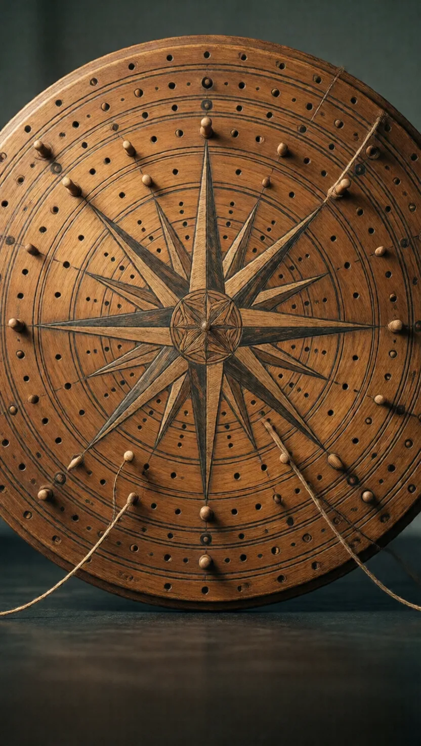
For most of sailing history a ship's position was reckoned from heading and speed tracked over time. The traverse board let a crewman who could not read or write keep that tally: a wooden disc painted with the 32-point compass rose and ringed with peg holes. Every half-hour of the watch he set a peg for the course steered, and pegs below for the speed in knots. At the watch's end the navigator read the pegs into the log.
tap →swipe ↑ for depthswipe ↓ to exit